


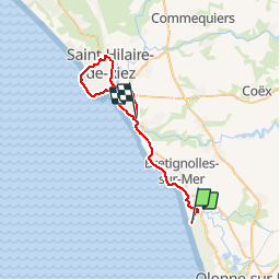

54 km | 63 km-effort

Utilisateur


Application GPS de randonnée GRATUITE
 SityTrail
IGN / Instituts géographiques
SityTrail World
Le monde est à vous
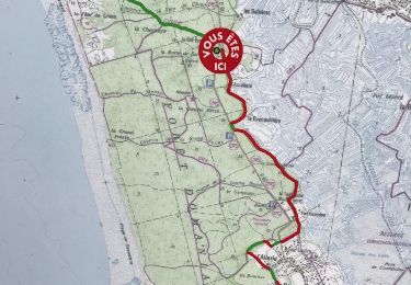
Randonnée V.T.T. de 34 km à découvrir à Pays de la Loire, Vendée, Les Sables-d'Olonne. Cette randonnée est proposée par tracegps.
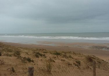
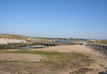
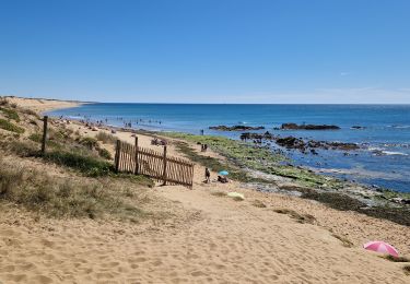
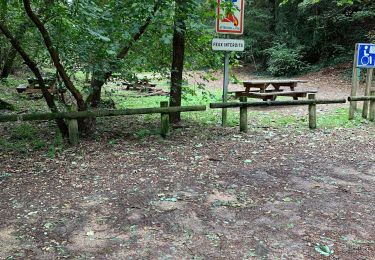
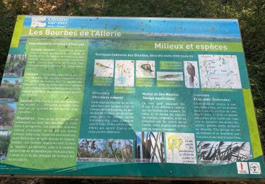
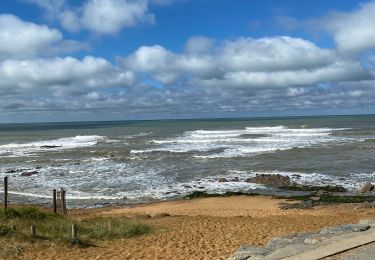
Départ du Havre de Gachère. Curiosités : dunes de la Garenne, plan d'eau de la Normandelière,Port de St Gilles Croix, ...


V.T.T.
Marche
Autre activité
Autre activité
Marche
Marche
Marche
Marche
Marche